
Byron Shire, NSW
Excavation and earthmoving in Bangalow
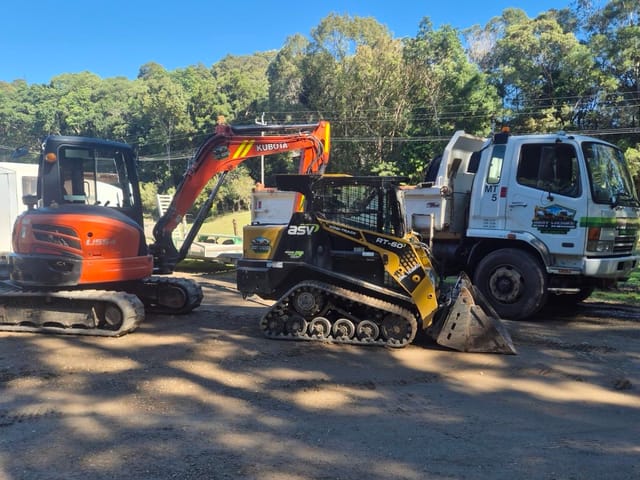
Bangalow is a largely intact early-1900s village set in a valley of state significant farmland. Small lots of 400 to 500 square metres surround the main street in the Heritage Conservation Area, with newer estates such as Rankin Drive, The Meadows and Clover Hill around them. Tight heritage yards suit Luke's compact ASV posi-track and 5.5 t Kubota, and his Fuso tipper takes the spoil away.
Or send the job details online
- Google 5.0 out of 5 from 2 reviews
- Liability and equipment insurance held
- ABN 58 346 068 875
- Free quotes and site looks
- Luke runs every machine himself
- Liability and equipment insurance held
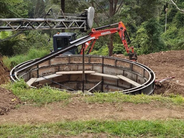
- Owner-operatorLuke, over 10 years operating machinery
- Based in MurwillumbahWorking the Gold Coast to Lennox Head
- Insurance heldLiability and equipment, certificate on request
- Google 5.0 out of 5From 2 reviews, October 2026
- ABN 58 346 068 875Registered business name DIRT WERKS
Jobs Luke takes on in Bangalow
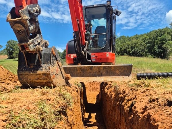
Trenching and drainage
Old Bangalow yards getting new plumbing or power: Luke opens and backfills the trench with the Kubota or posi-track, and your licensed plumber or electrician does the laying and connecting. Out on the farms, Luke also lays culverts and ag drains.
See more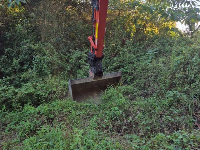
Land clearing
When NSW mapped farmland in 2005, the Bangalow soil landscape was mainly used for grazing, macadamias and bananas. Luke clears trees, stumps and old plantings at the owner's request, for paddocks, fence lines and tracks.
See more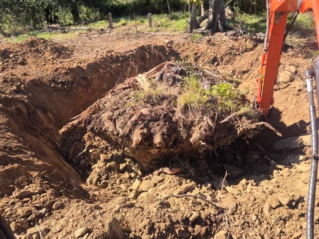
Soil removal and tipper
Small heritage yards have little room to stockpile, so spoil from trenches, garden makeovers and clean-ups goes straight onto the Fuso and off to a lawful tip or approved site, with dockets.
See more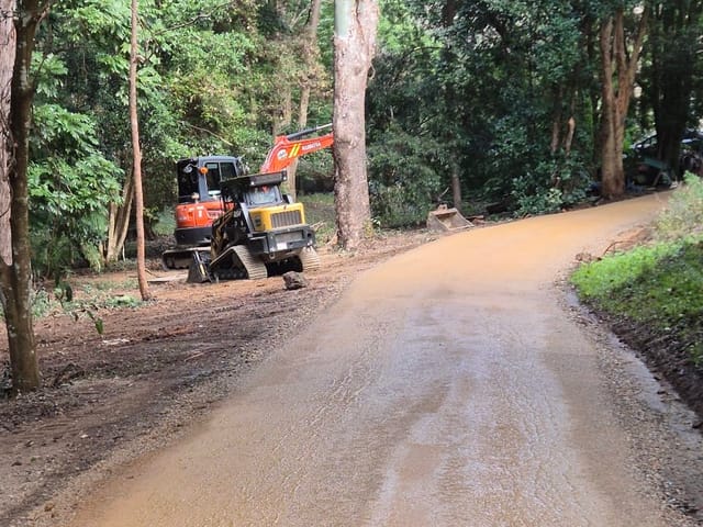
Driveway repairs
Steep rural driveways on the hills around Bangalow need gravel that stays put. Luke re-sheets, levels and rolls them, and adds table drains so stormwater runs beside the track instead of down it.
See moreGround and access in Bangalow
Council's Bangalow chapter describes mainly gentle slopes, some steep hills and low-lying, flood-prone land along Byron Creek, with buildings stepping down the steep main street and a wildlife corridor on the village's north-west edge. Regional soil mapping describes the Bangalow soil landscape as low hills of deep, well-drained krasnozem, with slopes over 15% widespread, plus localised slopes over 25% and mass movement. Basalt retaining walls are a recurring heritage feature in the old streets.
Heritage lots sit close together on a grid, so check the side access width before anything else, and plan around the old basalt walls rather than through them. Raftons Road has battle-axe lots, and The Meadows has sloping sites. Send photos of the side path and its width, any retaining walls, the exact spot to dig, and a place the tipper could stand.
Before you dig in Bangalow
Bangalow is in the Byron Shire Council area. These rules are worth checking before the machine is booked. Luke lodges his own Before You Dig enquiry for every job.
| Check | What it means |
|---|---|
| Excavation and fill limits | Where earthworks need development consent, Byron's DCP Chapter B14 limits excavation and fill to 1 m deep unless otherwise stated. Earthworks on land steeper than a 15% gradient, or with more than 1 m of cut and fill, need engineering detail from a structural or geotechnical engineer. |
| Acid sulfate soils | Council says acid sulfate soils sit in the coastal floodplains, generally below RL 5 m AHD. Under clause 6.1 of Byron LEP 2014, Class 1 land needs consent for any works and Class 2 for works below the ground surface. On Class 3 and 4 land the trigger is works more than 1 m or 2 m below natural ground, or works that lower the water table that far. |
| Driveways and the road reserve | Council needs a permit before any work on a driveway or elsewhere in the road reserve. Even an exempt driveway needs Section 138 approval under the Roads Act, lodged on the NSW Planning Portal. |
| Flood-prone land | Council's floodplain pages cover the Brunswick River, Belongil Creek and Tallow Creek, and much of the shire's low ground can flood. Check the flood maps before any fill or drainage work on the flats. |
| Near creeks and natural water | Exempt earthworks must be at least 40 m from natural water and must not redirect water or send sediment onto a neighbour's land. |
How it works
From a photo to a finished job
Call or text Luke a photo
A wide shot, the gate or access, and the exact spot tells him most of what he needs.
Get a free quote
From your photos, or from a quick site look if the job needs it. No charge for either.
Book a day
Luke brings the right machine for the access and the job.
Dig, cart and clean up
Spoil goes out on his own tipper. The site is left tidy.
Got a job in Bangalow?
Call Luke, text him a photo of the site, or send the details through the quote form. Quotes are free.
Questions about earthworks in Bangalow
Does Byron Creek flooding affect work on my Bangalow block?
It can on the low ground. Council's Bangalow chapter says low-lying land skirting Byron Creek is flood prone, and its flood chapter says there is no adopted flood study for Bangalow. Where work is in a flood planning area, Council may ask for a report based on local flood information, such as the highest recorded flood height. Settle that before Luke books the machines.
Who do I ask about earthworks approvals in Byron Shire?
Byron Shire Council's Development Support Officers answer approval questions on 02 6626 7025. Get any approval the job needs, or confirm the work is exempt, before the machine is booked. The council approval guide sets out the Tweed, Byron and Ballina rules side by side.
Suburbs near Bangalow
Luke works right across the area. Pick a neighbouring suburb, or see all of Byron Bay and Brunswick Heads.
Sources (checked October 2026)
- Wikipedia: Bangalow, New South Wales
- Byron Shire Council: DCP 2014 Chapter E2 Bangalow
- Byron Shire Council: DCP 2014 Chapter C2 Areas Affected by Flood (effective 6 June 2025)
- NSW Department of Planning: Northern Rivers Farmland Protection Project final recommendations (2005)
- Byron Shire Council: DCP 2014 Chapter B14 Excavation and Fill (PDF)
- Byron Shire Council: acid sulfate soil management plan for minor projects (PDF)
- Byron Shire Council: driveways
- Byron Shire Council: Brunswick River floodplain
Related
Byron Bay and Brunswick Heads
Excavation in Brunswick Heads, Ocean Shores and Byron Bay: driveways, trenching, clearing and spoil removal.
See more
Trenching and drainage
Trenching for plumbing, power and drainage, Gold Coast to Lennox Head. Before You Dig checked, dug to grade, backfilled.
See more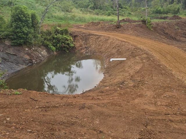
Land clearing
Land clearing, stump removal, farm dams, creek crossings and access tracks across the Tweed and Northern Rivers.
See more